Insurance
How to Check Your Flood Zone (FEMA Flood Map Guide)
How to check your flood zone in minutes using FEMA's flood maps, what each zone means, how zones are determined, and what your zone means for insurance.
Reviewed against current FEMA, NFIP and Ready.gov guidance.
How to check your flood zone takes about two minutes and one free federal tool — yet most homeowners never do it until a claim adjuster or a mortgage lender forces the question. This guide shows you exactly how to look up your flood zone on FEMA’s flood map, what each zone code means, how those zones are determined in the first place, and what your result means for insurance. It’s part of our flood and water damage insurance hub.
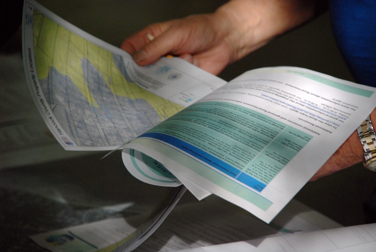
How to check your flood zone (step by step)
The fastest, most authoritative way to look up your flood zone is FEMA’s own Flood Map Service Center (MSC) — a free public tool, no login required. Here is the exact process:
- Go to the FEMA Flood Map Service Center at msc.fema.gov. This is the official source; ignore third-party “flood zone lookup” sites that recycle the same data behind a lead form.
- Enter your full property address — street number, city, state, and ZIP — in the search box and press search.
- Open the map viewer for your location. FEMA displays the effective Flood Insurance Rate Map (FIRM) with your parcel outlined and shaded.
- Read the zone code printed over your parcel — for example AE, A, VE, X, or D. That letter is your flood zone.
- Optionally, download the full FIRM panel or a FIRMette (a one-page printable excerpt of your area) for your records or your insurance agent.
If the online map is hard to read, two backups give the same answer: your county or city GIS/property portal usually overlays FEMA flood zones, and any licensed insurance agent can pull your official zone determination in seconds.
Source: FEMA — Flood Map Service CenterWhat the flood zone codes mean
FEMA sorts every mapped location into a zone based on its flood risk. You don’t need to memorize all of them — just recognize which letter you got and what it signals.
| Zone code | Risk level | What it means |
|---|---|---|
| A, AE, AO, AH | High risk | Inland Special Flood Hazard Area — ≥1% annual flood chance (100-year floodplain) |
| V, VE, VO | Highest risk | Coastal high-hazard area exposed to storm surge and wave action |
| X (shaded) | Moderate risk | 0.2% annual chance area (500-year floodplain) |
| X (unshaded) | Low risk | Outside the mapped floodplain |
| D | Undetermined | Risk exists but hasn’t been formally analyzed |
The single most important distinction: any zone starting with A or V is a high-risk Special Flood Hazard Area (SFHA). That label triggers the federal flood-insurance requirement for mortgaged homes and signals genuinely elevated risk. Zones V and VE are the most severe — coastal areas where wave action, not just rising water, threatens the structure.
Zone X is where most homes fall. Shaded X carries a lower but real risk; unshaded X is the lowest category. Neither requires flood insurance federally — but as the FAQ below notes, “low risk” is not “no risk.”
Source: FEMA — Flood ZonesWhat is a Special Flood Hazard Area?
A Special Flood Hazard Area (SFHA) is the land FEMA has mapped as having at least a 1% chance of flooding in any given year. That’s the “100-year floodplain” — a name that badly misleads people. It does not mean a flood happens once a century. It means a 1-in-100 odds every single year, which over the life of a 30-year mortgage adds up to roughly a 26% cumulative chance of at least one such flood.
If your address falls in an SFHA (any A or V zone) and you have a mortgage from a federally regulated or insured lender, flood insurance is mandatory — the lender will require it and can force-place a policy if you don’t buy one. Outside the SFHA, it’s optional but often wise.
How are flood zones determined?
FEMA doesn’t assign zones by guesswork. Each map comes out of a formal Flood Insurance Study (FIS) that engineers build from multiple data streams:
- Hydrology — how much water a river, stream, or drainage basin can produce, based on historical flow and rainfall records.
- Hydraulics — how that water moves through the local channel and spreads across the surrounding land.
- Coastal modeling — for shoreline areas, expected storm-surge heights and wave action during a severe coastal storm.
- Ground elevation — detailed topographic surveys (increasingly from LiDAR) of how high or low each parcel actually sits.
From that analysis, engineers calculate the base flood elevation (BFE) — the height floodwater is expected to reach during a 1%-annual-chance flood. Land sitting below the BFE gets mapped into the high-risk zone; land above it does not. The results are published as the Flood Insurance Rate Maps you searched earlier.
Because rivers shift, development changes drainage, and data improves, FEMA periodically remaps communities — which is why your zone can change over time.
What your flood zone means for insurance and cost
Your zone drives two things: whether flood insurance is required, and roughly what it costs.
- High-risk (A/V zones) + federally backed mortgage → insurance is mandatory. You’ll buy a policy through the National Flood Insurance Program (NFIP) or a private insurer before closing.
- Moderate/low-risk (X zones) → insurance is optional but frequently cheap. Some homeowners in these zones qualify for lower-cost NFIP options.
- Cost is not set by zone alone. Since 2021, FEMA prices NFIP policies under Risk Rating 2.0, which rates each home on its own specifics — distance to water, elevation, rebuild cost, foundation type — rather than the zone label by itself.
One critical, counterintuitive fact: flooding routinely happens outside high-risk zones. FEMA reports that a substantial share of NFIP flood claims — often cited around a quarter or more — come from properties in moderate- to low-risk areas. Standard homeowners insurance covers none of it, because homeowners policies exclude flood damage entirely. That gap is the whole reason to check your zone and get a quote regardless of the result.
What if you think your flood zone is wrong?
Maps aren’t infallible, and a parcel that sits on high ground can occasionally be swept into a high-risk zone by the resolution of an older map. If you believe your home was mapped incorrectly, you can challenge it:
- Hire a licensed surveyor to produce an Elevation Certificate documenting your home’s exact elevation relative to the base flood elevation.
- Submit a Letter of Map Amendment (LOMA) request to FEMA with that evidence.
- If FEMA agrees, it issues a determination that can remove the mandatory-insurance requirement — potentially saving you a premium you didn’t owe.
The reverse also happens: a remapping can move you into a high-risk zone. If that occurs, act promptly on the new requirement rather than waiting for the lender to force-place a costlier policy.
Source: Ready.gov — FloodsThe bottom line
Checking your flood zone is a two-minute, free task with outsized value: search your address at msc.fema.gov, read the zone code, and you instantly know your risk class and whether insurance is required. Remember that A and V zones are high-risk Special Flood Hazard Areas, X zones are moderate-to-low risk but not risk-free, and that flood zones are calculated from real hydrology and elevation data — not fixed forever.
Whatever your result, pair it with a flood-insurance quote, because homeowners insurance won’t cover a flood and low-risk zones still flood. If water has already reached your home, don’t wait on paperwork — act fast in the first 24 hours, document the damage thoroughly, and if you’re insured, follow our guide to filing a flood insurance claim. For the full coverage picture, start at our insurance hub.